




Browse Our Collections
Explore thousands of objects from the Penlee House collections.
Search the Collections
Found 2003 objects in the category Social History
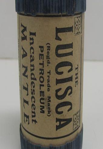
Mantle box
cylindrical cardboard box containing part of a petroleum incandescent mantle. Known as 'The Lucisca' (regd. Trade Mark). Box contains some cotton wool type substance. Box has various writing around it and has blue, removable ends
PEZPH : 1999.151
Social History
Discover More

Mantrap
Mantrap used in Penzance district during 18th century. Has 14 spikes on upper edge 13 on lower edge metal mounting mouth 420 mm wide
PEZPH : 1976.488
Social History
Discover More

Manuscript
Compas of Plants by Teague on plant movement 1895-96
PEZPH : 1989.324
Social History
Discover More

Manuscript
Ornithology of Cornwall, manuscript and two transcripts 1894 by C W Deacon
PEZPH : 1989.1-3
Social History
Discover More

Manuscript
Handwritten manuscript of Penzance Natural History and Antiquarian Society, PNHAS, excursion no.7, 26th August 1870.
PEZPH : 1989.4
Social History
Discover More

Map
book and map written by Peter Macdonald. Includes free eclipse viewers. Contained in plastic wallet
PEZPH : 1999.137
Social History
Discover More
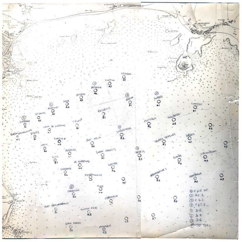
Map
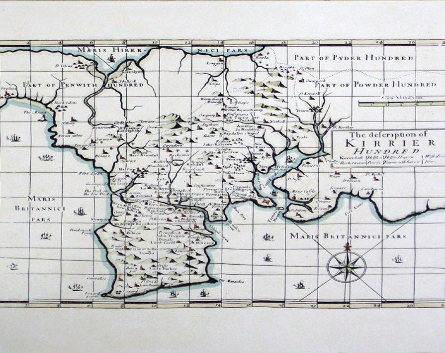
Map of Kirrier Hundred. Coloured map with compass point in lower left.
PEZPH : 1989.194
Social History
Discover More

Map
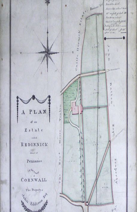
Map of the road from Exeter to Truro by John Ogilsby.
PEZPH : 1989.126
Social History
Discover More

Map
Description of Penwith Hundred Cornwall by J Cary. Coloured map showing rather distorted view of Penwith.
PEZPH : 1989.125
Social History
Discover More

Map
Ordnance survey map of Marazion, Longrock and Eastern Green, dated 1878. Issued by the Borough of Penzance.
PEZPH : 1987.93
Social History
Discover More

Map,'The Directional Pointer Guide to Penzance'
'The Directional Pointer Guide to Penzance', folding map with advertisements and information
PEZPH : 1991.1080
Social History
Discover More

Map of Cornwall by J Cary
map partially coloured by J Cary dated 1787
PEZPH : 1989.1191
Social History
Discover More
Map of the County of Cornwall and Scilly Isles
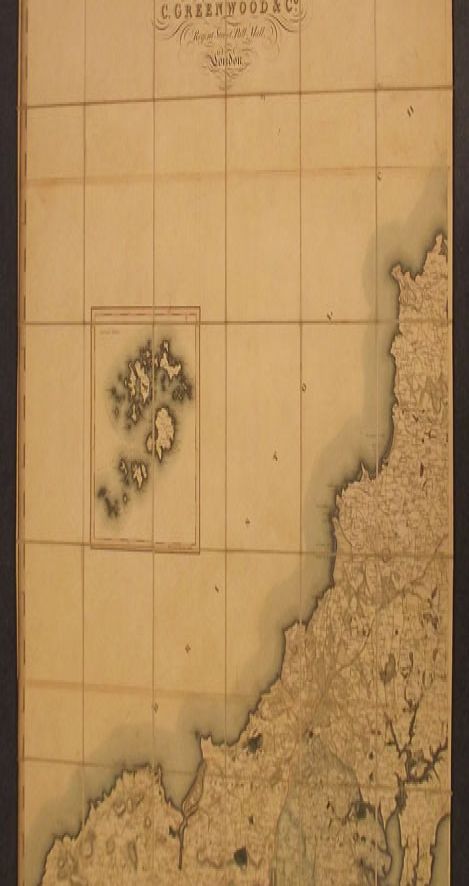
Half a bound map of the County of Cornwall and Scilly Isles from a survey in 1826 and 1827. Printed onto linen and bound with green edging. Map only shows the bottom half of Cornwall. Measures 6 x 3 feet when unfolded.
PEZPH : 1976.374
Social History
Discover More


Maroons
four spent icarus rockets, used in life boat rescues. Two four star white, two maroon.
PEZPH : 2000.81.1-4
Social History
Discover More
Masons sign
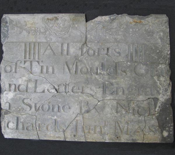
Engraved slate masons sign, decorative design at top left hand corner with text 'All sorts of Tin Moulds cut and Letter Engraved in stone by Nich(olas?) (Ri?)chards Junr Mas(on?)
PEZPH : 1984.11
Social History
Discover More