

Colour postcard
Acc.no: PEZPH : 1992.815
Identification
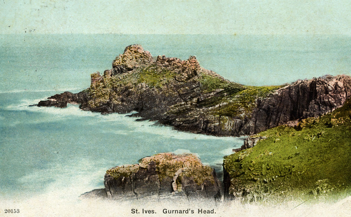
Item: St Ives. Gurnard's Head
Description: This is the view across Gurnards Head Bay from the east. Also called Treveer Dinas, dinas referring to Iron Age fortifications found in the area. Behind the defences, at least sixteen hut circles were found on the headland, 20 to 30 feet in diameter with central hearths, well defined entrances and walls with inner and outer facings. The earliest name for the Head was 'Y nae' which means a desolate place. Across the narrow neck of the headland are two ramparts and three ditches. An entrance gap breaks the centre of both ramparts. The name is supposedly derived from the peninsula's shape resembling the shape of the gurnard fish.
Description
Production
Category: Photography
If you are interested in learning more about this item please contact us and reference "PEZPH : 1992.815"
Go Back